
Topografische Karte Kalâat el-Andalous
Interaktive Karte
Klicken Sie auf die Karte, um die Höhe anzuzeigen.
Über diese Karte
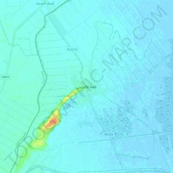
Name: Topografische Karte Kalâat el-Andalous, Höhe, Relief.
Durchschnittliche Höhe: 3 m
Minimale Höhe: -3 m
Maximale Höhe: 40 m