
Topografische Karte Colonia Cuauhtémoc
Interaktive Karte
Klicken Sie auf die Karte, um die Höhe anzuzeigen.
Über diese Karte
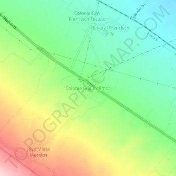
Name: Topografische Karte Colonia Cuauhtémoc, Höhe, Relief.
Ort: Colonia Cuauhtémoc, Huamantla, Tlaxcala, 90500, México (19.31167 -97.98528 19.35167 -97.94528)
Durchschnittliche Höhe: 2.562 m
Minimale Höhe: 2.468 m
Maximale Höhe: 2.709 m