
Topografische Karte Kaza
Interaktive Karte
Klicken Sie auf die Karte, um die Höhe anzuzeigen.
Über diese Karte
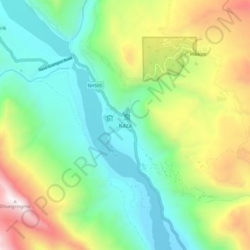
Name: Topografische Karte Kaza, Höhe, Relief.
Ort: Kaza, Lahaul und Spiti, Himachal Pradesh, Indien (32.18438 78.03226 32.26438 78.11226)
Durchschnittliche Höhe: 4.161 m
Minimale Höhe: 3.532 m
Maximale Höhe: 5.417 m