
Topografische Karte Sanaa
Interaktive Karte
Klicken Sie auf die Karte, um die Höhe anzuzeigen.
Über diese Karte
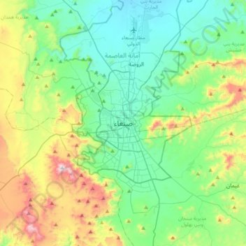
Name: Topografische Karte Sanaa, Höhe, Relief.
Ort: Sanaa, Mudiriyat At Tahrir, Sanaa, Jemen (15.19386 44.04588 15.51386 44.36588)
Durchschnittliche Höhe: 2.443 m
Minimale Höhe: 2.172 m
Maximale Höhe: 3.193 m
Andere topografische Karten
Klicken Sie auf eine Karte, um ihre Topografie, ihre Höhe und ihr Relief anzuzeigen.