
Topografische Karte Varanasi
Klicken Sie auf die Karte, um die Höhe anzuzeigen.
Über diese Karte
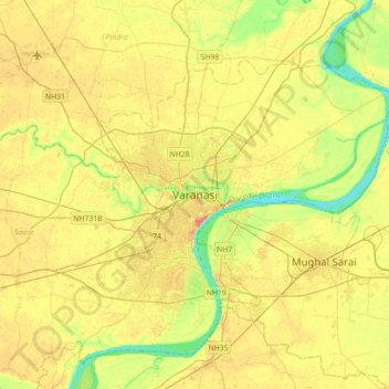
Name: Topografische Karte Varanasi, Höhe, Relief.
Ort: Varanasi, Sadar, Varanasi, Uttar Pradesh, 221001, Indien (25.17565 82.84763 25.49565 83.16763)
Durchschnittliche Höhe: 77 m
Minimale Höhe: 55 m
Maximale Höhe: 96 m