
Topografische Karte Nashville
Interaktive Karte
Klicken Sie auf die Karte, um die Höhe anzuzeigen.
Nashville
Die Vanderbilt University, gegründet 1873 mittels einer Spende von Cornelius Vanderbilt, ist mit rund 11.000 Studierenden Nashvilles größte Universität; sie zählt zu den Spitzenuniversitäten der USA. Andere Colleges und Hochschulen sind unter anderem das American Baptist College, das Aquinas College, die Belmont University, die Fisk University, das Nashville State Community College, die Tennessee State University und das Watkins College of Art and Design. Aufgrund der vielen höheren Bildungseinrichtungen wird Nashville auch als „Athens of the South“ („Athen des Südens“) bezeichnet.
Über diese Karte
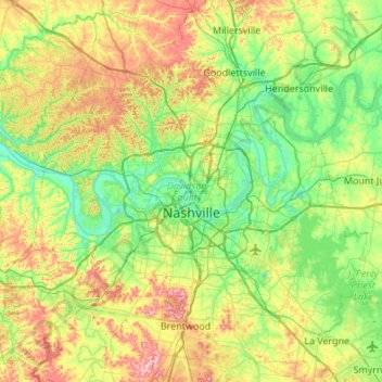
Name: Topografische Karte Nashville, Höhe, Relief.
Durchschnittliche Höhe: 184 m
Minimale Höhe: 109 m
Maximale Höhe: 344 m