
Topografische Karte Dschiroft
Interaktive Karte
Klicken Sie auf die Karte, um die Höhe anzuzeigen.
Dschiroft
Dschiroft liegt auf einer großen Ebene, der Halil Rud, auf dem südlichen Ausläufers der Bariz-Gebirgskette und ist von zwei Flüssen umgeben. Die mittlere Höhe der Stadt beträgt 650 m über dem Meer.
Über diese Karte
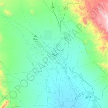
Name: Topografische Karte Dschiroft, Höhe, Relief.
Durchschnittliche Höhe: 896 m
Minimale Höhe: 583 m
Maximale Höhe: 2.392 m