
Topografische Karte Barwani
Interaktive Karte
Klicken Sie auf die Karte, um die Höhe anzuzeigen.
Barwani
Barwani is located at 22°02′N 74°54′E / 22.03°N 74.9°E / 22.03; 74.9. It has an average elevation of 178 meters (583 feet). The Narmada River flows through Barwani; it is 5 km (3.1 miles) from the city centre. The maximum temperature of Barwani in April and May used to reach 48 °C (118 °F), making it one of the hottest places in Central India. However, in recent years, it has cooled down.
Über diese Karte
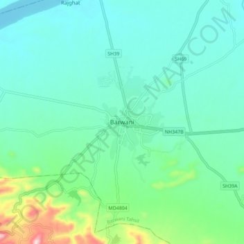
Name: Topografische Karte Barwani, Höhe, Relief.
Durchschnittliche Höhe: 191 m
Minimale Höhe: 113 m
Maximale Höhe: 503 m