
Topografische Karte Addlestone
Interaktive Karte
Klicken Sie auf die Karte, um die Höhe anzuzeigen.
Über diese Karte
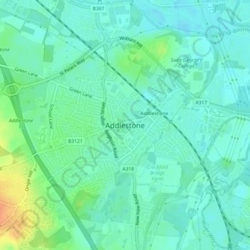
Name: Topografische Karte Addlestone, Höhe, Relief.
Ort: Addlestone, Runnymede, Surrey, England, Vereinigtes Königreich (51.36185 -0.50737 51.38044 -0.47211)
Durchschnittliche Höhe: 18 m
Minimale Höhe: 8 m
Maximale Höhe: 45 m