
Topografische Karte Prior Lake
Interaktive Karte
Klicken Sie auf die Karte, um die Höhe anzuzeigen.
Prior Lake
The eastern portion of Spring Lake along Scott County Road 12 is also located within the City of Prior Lake. Spring Lake, with 290 acres, but being a few minutes further out from the metro area offers similar recreational opportunities as Upper Prior Lake with a more rural character and less traffic. Spring Lake, being several feet higher in elevation, flows north, into Upper Prior Lake via a non-navigable spillway and culvert under County Road 12.
Über diese Karte
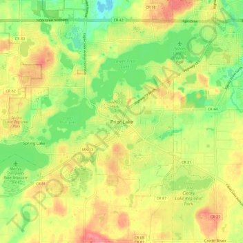
Name: Topografische Karte Prior Lake, Höhe, Relief.
Ort: Prior Lake, Scott County, Minnesota, 55372, United States (44.67333 -93.46269 44.75333 -93.38269)
Durchschnittliche Höhe: 289 m
Minimale Höhe: 247 m
Maximale Höhe: 331 m