
Topografische Karte Schofield Barracks
Interaktive Karte
Klicken Sie auf die Karte, um die Höhe anzuzeigen.
Schofield Barracks
Schofield Barracks has a tropical savanna climate. Owing to a higher elevation, Schofield is slightly cooler year round than Honolulu, but is still well within the realms of a tropical climate. Precipitation patterns closely resemble those of mediterranean climates being found in mainland California, but its warm winters prevents the climate from being classified as such.
Über diese Karte
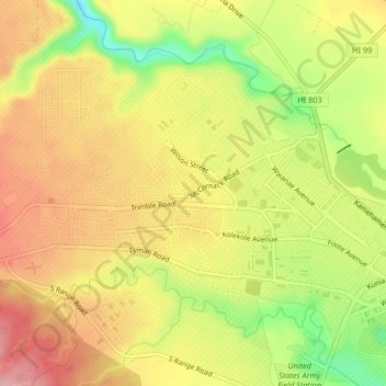
Name: Topografische Karte Schofield Barracks, Höhe, Relief.
Durchschnittliche Höhe: 279 m
Minimale Höhe: 182 m
Maximale Höhe: 353 m
Andere topografische Karten
Klicken Sie auf eine Karte, um ihre Topografie, ihre Höhe und ihr Relief anzuzeigen.