
Topografische Karte Barranco
Interaktive Karte
Klicken Sie auf die Karte, um die Höhe anzuzeigen.
Barranco
The name Barranco (Spanish for ravine) is descriptive of its topography, featuring homes and restaurants in and around a ravine near a cliff overlooking a sand strip which runs from the Miraflores District to Chorrillos (now flanked by a highway, Costa Verde Ave.).
Über diese Karte
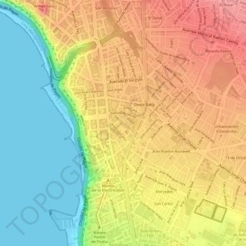
Name: Topografische Karte Barranco, Höhe, Relief.
Durchschnittliche Höhe: 55 m
Minimale Höhe: 0 m
Maximale Höhe: 101 m