
Topografische Karte Western Ghats
Klicken Sie auf die Karte, um die Höhe anzuzeigen.
Western Ghats
The range starts near south of the Tapti river and runs approximately 1,600 km (990 mi) through the states of Gujarat, Maharashtra, Karnataka, Goa, Kerala and Tamil Nadu ending at Marunthuvazh Malai near the southern tip of India. These hills cover 160,000 km2 (62,000 sq mi) and form the catchment area for complex riverine drainage systems that drain almost 40% of India. The Western Ghats block the southwest monsoon winds from reaching the Deccan Plateau. The average elevation is around 1,200 m (3,900 ft).
Über diese Karte
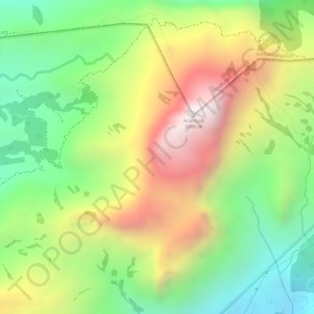
Name: Topografische Karte Western Ghats, Höhe, Relief.
Ort: Western Ghats, Devikulam, Idukki, Kerala, 685614, India (10.16595 77.05795 10.16605 77.05805)
Durchschnittliche Höhe: 2.225 m
Minimale Höhe: 1.828 m
Maximale Höhe: 2.685 m
Andere topografische Karten
Klicken Sie auf eine Karte, um ihre Topografie, ihre Höhe und ihr Relief anzuzeigen.