
Topografische Karte Étang du Fer à Cheval
Interaktive Karte
Klicken Sie auf die Karte, um die Höhe anzuzeigen.
Über diese Karte
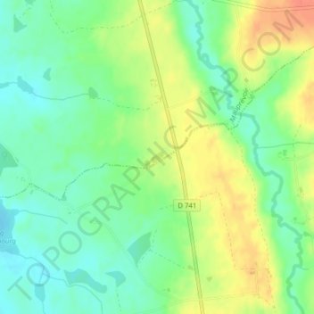
Name: Topografische Karte Étang du Fer à Cheval, Höhe, Relief.
Durchschnittliche Höhe: 161 m
Minimale Höhe: 141 m
Maximale Höhe: 187 m