Topografische Karte L'Epine
Interaktive Karte
Klicken Sie auf die Karte, um die Höhe anzuzeigen.
Über diese Karte
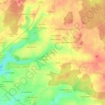
Name: Topografische Karte L'Epine, Höhe, Relief.
Durchschnittliche Höhe: 156 m
Minimale Höhe: 119 m
Maximale Höhe: 178 m

Klicken Sie auf die Karte, um die Höhe anzuzeigen.
Name: Topografische Karte L'Epine, Höhe, Relief.
Durchschnittliche Höhe: 156 m
Minimale Höhe: 119 m
Maximale Höhe: 178 m