
Topografische Karte Le coin du photographe
Interaktive Karte
Klicken Sie auf die Karte, um die Höhe anzuzeigen.
Über diese Karte
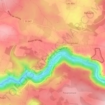
Name: Topografische Karte Le coin du photographe, Höhe, Relief.
Durchschnittliche Höhe: 248 m
Minimale Höhe: 130 m
Maximale Höhe: 299 m