
Topografische Karte Allen
Interaktive Karte
Klicken Sie auf die Karte, um die Höhe anzuzeigen.
Über diese Karte
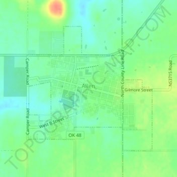
Name: Topografische Karte Allen, Höhe, Relief.
Ort: Allen, Pontotoc County, Oklahoma, 74825, United States (34.86908 -96.42395 34.88809 -96.40065)
Durchschnittliche Höhe: 266 m
Minimale Höhe: 250 m
Maximale Höhe: 294 m
Andere topografische Karten
Klicken Sie auf eine Karte, um ihre Topografie, ihre Höhe und ihr Relief anzuzeigen.
Vanoss
United States > Oklahoma > Pontotoc County
Vanoss, Pontotoc County, Oklahoma, United States
Durchschnittliche Höhe: 314 m
Byng
United States > Oklahoma > Pontotoc County
Byng, Pontotoc County, Oklahoma, United States
Durchschnittliche Höhe: 280 m
Ada
United States > Oklahoma > Pontotoc County
Ada, Pontotoc County, Oklahoma, 74820, United States
Durchschnittliche Höhe: 300 m