
Topografische Karte Vandalur
Interaktive Karte
Klicken Sie auf die Karte, um die Höhe anzuzeigen.
Über diese Karte
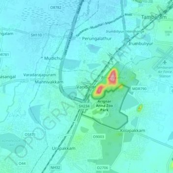
Name: Topografische Karte Vandalur, Höhe, Relief.
Durchschnittliche Höhe: 27 m
Minimale Höhe: 13 m
Maximale Höhe: 160 m
Vandalur hill is part of Arignar Anna Zoological Park and public entry to the hill is restricted. The hilltop provides a good view of the OMR and Mannivakam. The Tamil Nadu Forest department has a sapling center under the foothill of Vandalur hill. The run has a total ascent of 274.99 ft and has a maximum elevation of 484.97 ft.
Andere topografische Karten
Klicken Sie auf eine Karte, um ihre Topografie, ihre Höhe und ihr Relief anzuzeigen.
Maraimalai Nagar
India > Tamil Nadu > Chengalpattu
Maraimalai Nagar, Chengalpattu, Chengalpattu District, Tamil Nadu, 603209, India
Durchschnittliche Höhe: 49 m