
Topografische Karte Eje Neovolcánico
Interaktive Karte
Klicken Sie auf die Karte, um die Höhe anzuzeigen.
Über diese Karte
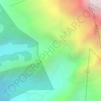
Name: Topografische Karte Eje Neovolcánico, Höhe, Relief.
Ort: Eje Neovolcánico, Amecameca, State of Mexico, Mexico (19.14995 -98.65005 19.15005 -98.64995)
Durchschnittliche Höhe: 4.179 m
Minimale Höhe: 3.679 m
Maximale Höhe: 5.038 m
Volcanic ash make soils in the region very fertile, which (especially coupled with elevation making tropical climate milder) has led to high human population densities in the belt that now sometimes strain the environment.