
Topografische Karte San Matias
Interaktive Karte
Klicken Sie auf die Karte, um die Höhe anzuzeigen.
Über diese Karte
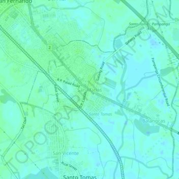
Name: Topografische Karte San Matias, Höhe, Relief.
Durchschnittliche Höhe: 3 m
Minimale Höhe: -1 m
Maximale Höhe: 7 m
Andere topografische Karten
Klicken Sie auf eine Karte, um ihre Topografie, ihre Höhe und ihr Relief anzuzeigen.
San Vicente
Philippines > Pampanga > Santo Tomas
San Vicente, Santo Tomas, Pampanga, Central Luzon, 2019, Philippines
Durchschnittliche Höhe: 3 m
Santo Tomas
Philippines > Pampanga > Santo Tomas
Santo Tomas, Pampanga, Central Luzon, Philippines
Durchschnittliche Höhe: 4 m