
Topografische Karte Partyzanske
Interaktive Karte
Klicken Sie auf die Karte, um die Höhe anzuzeigen.
Über diese Karte
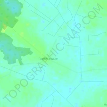
Name: Topografische Karte Partyzanske, Höhe, Relief.
Ort: Partyzanske, Kovel Raion, Volyn Oblast, Ukraine (51.03750 24.96231 51.05175 24.99630)
Durchschnittliche Höhe: 183 m
Minimale Höhe: 178 m
Maximale Höhe: 191 m
Partyzanske is located on Crimea's southern shore at an elevation of 362 metres (1,188 ft). The settlement is located 5 km (3.1 mi) southwest from Hurzuf, which it is administratively subordinate to. Its population was 94 in the 2001 Ukrainian census. Current population: 65 (2014 Census).