
Topografische Karte Cerro Risco Plateado
Interaktive Karte
Klicken Sie auf die Karte, um die Höhe anzuzeigen.
Über diese Karte
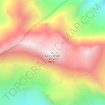
Name: Topografische Karte Cerro Risco Plateado, Höhe, Relief.
Durchschnittliche Höhe: 4.384 m
Minimale Höhe: 3.708 m
Maximale Höhe: 4.925 m
Risco Plateado is a stratovolcano in Argentina, with an elevation of 4,999 metres (16,401 ft) above sea level. With a prominence of 1,602 metres (5,256 ft), it is one of the many ultra prominent peaks in the Andes. The equilibrium line altitude of the volcano lies at an altitude of 3,800 metres (12,500 ft).