
Topografische Karte Port de Larrau
Interaktive Karte
Klicken Sie auf die Karte, um die Höhe anzuzeigen.
Über diese Karte
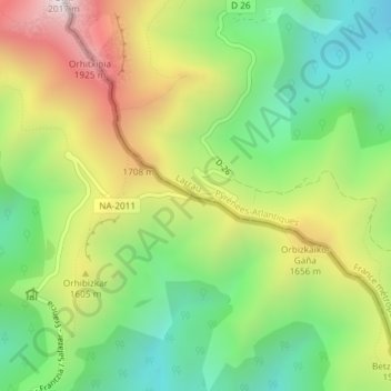
Name: Topografische Karte Port de Larrau, Höhe, Relief.
Durchschnittliche Höhe: 1.451 m
Minimale Höhe: 1.057 m
Maximale Höhe: 2.016 m