
Topografische Karte Challapalli
Interaktive Karte
Klicken Sie auf die Karte, um die Höhe anzuzeigen.
Über diese Karte
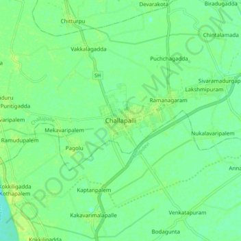
Name: Topografische Karte Challapalli, Höhe, Relief.
Durchschnittliche Höhe: 8 m
Minimale Höhe: 1 m
Maximale Höhe: 13 m
Challapalli is located at 16°07′00″N 80°56′00″E / 16.1167°N 80.9333°E / 16.1167; 80.9333. It has an average elevation of 7 metres (23 ft). It is located 25 kilometres (16 mi) from the district headquarters, Machilipatnam, and lies on the border of the Krishna District and the Guntur District near Repalle, in the South Guntur District.
Andere topografische Karten
Klicken Sie auf eine Karte, um ihre Topografie, ihre Höhe und ihr Relief anzuzeigen.
Ramanagaram
India > Andhra Pradesh > Challapalle
Ramanagaram, Challapalle, Krishna District, Andhra Pradesh, 521126, India
Durchschnittliche Höhe: 8 m