
Topografische Karte Brusnica
Interaktive Karte
Klicken Sie auf die Karte, um die Höhe anzuzeigen.
Brusnica
The municipality lies at an altitude of 199 metres and covers an area of 14.283 km². It has a population of about 415 people. The village has a significant Rusyn minority (32%) and smaller Romani minority (2%), along with the majority of Slovaks (65%).
Über diese Karte
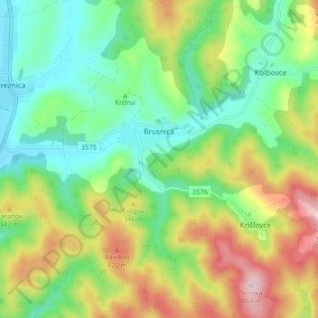
Name: Topografische Karte Brusnica, Höhe, Relief.
Durchschnittliche Höhe: 286 m
Minimale Höhe: 172 m
Maximale Höhe: 483 m