
Topografische Karte Magnolia
Interaktive Karte
Klicken Sie auf die Karte, um die Höhe anzuzeigen.
Magnolia
Magnolia is located in southwest Arkansas, north of the center of Columbia County. The average altitude is 336 ft (102 m) above sea level according to NOAA. The surrounding region is a mix of dense forest, farm prairies, and low rolling hills.
Über diese Karte
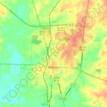
Name: Topografische Karte Magnolia, Höhe, Relief.
Ort: Magnolia, Columbia County, Arkansas, United States (33.23838 -93.26766 33.31554 -93.18919)
Durchschnittliche Höhe: 91 m
Minimale Höhe: 66 m
Maximale Höhe: 117 m
Andere topografische Karten
Klicken Sie auf eine Karte, um ihre Topografie, ihre Höhe und ihr Relief anzuzeigen.