
Topografische Karte Visapur
Klicken Sie auf die Karte, um die Höhe anzuzeigen.
Visapur
It is located in Pune district, 5 to 6 km from Malavli Railway station out of which 3 km is steep road. It has an elevation of 1084 meters above sea level. It is built on the same plateau as Lohagad.
Über diese Karte
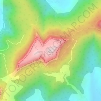
Name: Topografische Karte Visapur, Höhe, Relief.
Durchschnittliche Höhe: 822 m
Minimale Höhe: 611 m
Maximale Höhe: 1.076 m