
Spenden
Rüste dich für dein nächstes Abenteuer:
Als Amazon-Partner verdient diese Website an qualifizierten Käufen, ohne zusätzliche Kosten für Sie.
Topografische Karte Manhattan
Klicken Sie auf die Karte, um die Höhe anzuzeigen.
Spenden
Rüste dich für dein nächstes Abenteuer:
Als Amazon-Partner verdient diese Website an qualifizierten Käufen, ohne zusätzliche Kosten für Sie.
Über diese Karte
Name: Topografische Karte Manhattan, Höhe, Relief.
Durchschnittliche Höhe: 9 m
Minimale Höhe: -1 m
Maximale Höhe: 17 m
Spenden
Rüste dich für dein nächstes Abenteuer:
Als Amazon-Partner verdient diese Website an qualifizierten Käufen, ohne zusätzliche Kosten für Sie.
Andere topografische Karten
Klicken Sie auf eine Karte, um ihre Topografie, ihre Höhe und ihr Relief anzuzeigen.
Lutz
United States > Florida > Hillsborough County > Tampa
Lutz is characterized by a gently rolling topography that showcases the distinctive features of the central Florida landscape. The area has an average elevation of about 70 feet (21 meters) above sea level, contributing to its mild undulations rather than dramatic elevation changes. The terrain is marked by a…
Durchschnittliche Höhe: 20 m
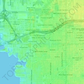
Carrollwood
United States > Florida > Hillsborough County > Tampa
Carrollwood is located at 28.1 degrees north, 82.5 degrees west (28.0523, -82.4858). The elevation for the community is 39 feet (12 m) above sea level.
Durchschnittliche Höhe: 16 m
Carrollwood
United States > Florida > Hillsborough County > Tampa
Carrollwood is located at 28.1 degrees north, 82.5 degrees west (28.0523, -82.4858). The elevation for the community is 39 feet (12 m) above sea level.
Durchschnittliche Höhe: 16 m
Spenden
Rüste dich für dein nächstes Abenteuer:
Als Amazon-Partner verdient diese Website an qualifizierten Käufen, ohne zusätzliche Kosten für Sie.