

Topografische Karte Matheran
Klicken Sie auf die Karte, um die Höhe anzuzeigen.
Matheran
Matheran is an automobile-free hill station and a municipal council in the Karjat taluka of the Raigad district located in the Indian state of Maharashtra. Matheran is part of the Mumbai Metropolitan Region, and one of the smallest hill stations in India. It is located in the Western Ghats, at an elevation of around 800 m (2,625 feet) above sea level. It is about 90 km from Mumbai, and 120 km from Pune. This proximity to these urban areas makes it a weekend getaway for many. Matheran, which means "forest on the forehead" (of the mountains) in Marathi, is an eco-sensitive region, declared by the Ministry of Environment, Forest and Climate Change, Government of India. It is Asia's only automobile-free hill station.
Über diese Karte
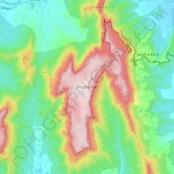
Name: Topografische Karte Matheran, Höhe, Relief.
Ort: Matheran, Karjat Taluka, Raigad, Maharashtra, 410102, India (18.95015 73.23002 19.03015 73.31002)
Durchschnittliche Höhe: 325 m
Minimale Höhe: 43 m
Maximale Höhe: 806 m