
Topografische Karte Mariepskop
Interaktive Karte
Klicken Sie auf die Karte, um die Höhe anzuzeigen.
Über diese Karte
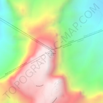
Name: Topografische Karte Mariepskop, Höhe, Relief.
Durchschnittliche Höhe: 1.445 m
Minimale Höhe: 930 m
Maximale Höhe: 1.948 m
Several distinguishable plant communities have been described. The foothills are covered in low altitude woodlands, which are distinguished as lowveld gallery forest, savanna on mountain slopes, savanna on rocky terrain and submontane forest. In the mountain's higher reaches the high mountain grassland is locally replaced by a type of fynbos vegetation. The higher elevations are home to the mountain plateau, Widdringtonia and montane forest plant communities.