
Topografische Karte Cle Elum
Interaktive Karte
Klicken Sie auf die Karte, um die Höhe anzuzeigen.
Über diese Karte
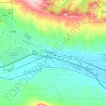
Name: Topografische Karte Cle Elum, Höhe, Relief.
Durchschnittliche Höhe: 697 m
Minimale Höhe: 561 m
Maximale Höhe: 1.066 m
Cle Elum has a humid continental climate, Köppen subtype Dsb. The elevation is 1909 feet and temperatures are cooler than areas to the west. The coldest month is December, a trait common in the Pacific Northwest. But hot temperatures still occur, and not just in summer: on March 18, 1968, the temperature soared to 95 °F.