

Topografische Karte Zamora
Klicken Sie auf die Karte, um die Höhe anzuzeigen.
Zamora
The city of Zamora is an important economic center in the state and the most significant population center between the cities of Morelia and Guadalajara. The city is located on the Tarascan Plateau in the northwestern part of the state, at an elevation of 1,567 m (5,141 ft) above sea level. Zamora is surrounded by the fertile Tziróndaro Valley which is an important agricultural area that exports large amounts of produce to the United States.
Über diese Karte
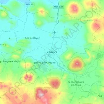
Name: Topografische Karte Zamora, Höhe, Relief.
Ort: Zamora, Michoacán, 59670, Mexico (19.82289 -102.44363 20.14289 -102.12363)
Durchschnittliche Höhe: 1.798 m
Minimale Höhe: 1.526 m
Maximale Höhe: 2.767 m