
Topografische Karte Abrantes
Interaktive Karte
Klicken Sie auf die Karte, um die Höhe anzuzeigen.
Über diese Karte
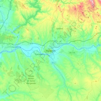
Name: Topografische Karte Abrantes, Höhe, Relief.
Durchschnittliche Höhe: 162 m
Minimale Höhe: 11 m
Maximale Höhe: 612 m
An active republican center, Abrantes was the place of preparatory meetings for the 5 October 1910 Revolution, which may have contributed to the village's elevation to the status of city on 14 June 1916.