
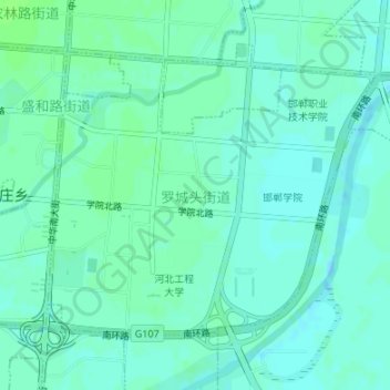
Topografische Karte 罗城头街道
Interaktive Karte
Klicken Sie auf die Karte, um die Höhe anzuzeigen.
Über diese Karte
Name: Topografische Karte 罗城头街道, Höhe, Relief.
Ort: 罗城头街道, 邯山区, 邯郸市, 河北省, 056000, 中国 (36.56713 114.48371 36.58656 114.51205)
Durchschnittliche Höhe: 60 m
Minimale Höhe: 56 m
Maximale Höhe: 64 m
Andere topografische Karten
Klicken Sie auf eine Karte, um ihre Topografie, ihre Höhe und ihr Relief anzuzeigen.