
Topografische Karte Great Plains
Interaktive Karte
Klicken Sie auf die Karte, um die Höhe anzuzeigen.
Über diese Karte
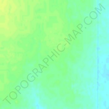
Name: Topografische Karte Great Plains, Höhe, Relief.
Ort: Great Plains, Thomas County, Kansas, United States (39.40687 -101.30210 39.42687 -101.28210)
Durchschnittliche Höhe: 1.023 m
Minimale Höhe: 1.015 m
Maximale Höhe: 1.030 m
The North American Environmental Atlas, produced by the Commission for Environmental Cooperation, a NAFTA agency composed of the geographical agencies of the Mexican, American, and Canadian governments, uses the "Great Plains" as an ecoregion synonymous with predominant prairies and grasslands rather than as physiographic region defined by topography. The Great Plains ecoregion includes five sub-regions: Temperate Prairies, West-Central Semi-Arid Prairies, South-Central Semi-Arid Prairies, Texas Louisiana Coastal Plains, and Tamaulipas-Texas Semi-Arid Plain, which overlap or expand upon other Great Plains designations.
Andere topografische Karten
Klicken Sie auf eine Karte, um ihre Topografie, ihre Höhe und ihr Relief anzuzeigen.
Colby
United States > Kansas > Thomas County > Colby
Colby, Thomas County, Kansas, 67701, United States
Durchschnittliche Höhe: 970 m
Halford
United States > Kansas > Thomas County > Halford
Halford, Thomas County, Kansas, United States
Durchschnittliche Höhe: 935 m