
Topografische Karte Villahermosa
Interaktive Karte
Klicken Sie auf die Karte, um die Höhe anzuzeigen.
Villahermosa
Villahermosa is located in the southeast of Mexico between the rivers Grijalva and Carrizal. The average elevation of the city is 10 meters above sea level. The city also has several lagoons, the largest and most important of them being La Laguna de las Ilusiones (Illusions Lagoon).
Über diese Karte
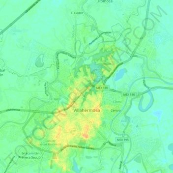
Name: Topografische Karte Villahermosa, Höhe, Relief.
Ort: Villahermosa, Centro, Tabasco, Mexico (17.95718 -92.98751 18.04632 -92.88503)
Durchschnittliche Höhe: 9 m
Minimale Höhe: 0 m
Maximale Höhe: 29 m