
Topografische Karte Prince George
Interaktive Karte
Klicken Sie auf die Karte, um die Höhe anzuzeigen.
Über diese Karte
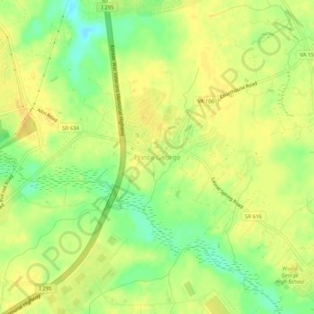
Name: Topografische Karte Prince George, Höhe, Relief.
Durchschnittliche Höhe: 39 m
Minimale Höhe: 21 m
Maximale Höhe: 48 m
Prince George is a census-designated place (CDP) in and the county seat of Prince George County, Virginia, United States. The population as of the 2010 Census was 2,066. It is in the metro area of Richmond, Virginia. The elevation is at 131 feet.