
Topografische Karte Oymyakon
Interaktive Karte
Klicken Sie auf die Karte, um die Höhe anzuzeigen.
Oymyakon
With an extreme subarctic climate (Köppen climate classification Dfd), Oymyakon is known as one of the places considered the Northern Pole of Cold, the other being the town of Verkhoyansk, located 629 km (391 mi) away by air. The weather station is in a valley between Oymyakon and Tomtor. The station is at 750 m (2,460 ft) above sea level and the surrounding mountains, at 1,100 m (3,600 ft), cause cold air to pool in the valley: in fact, recent studies show that winter temperatures in the area increase with altitude by as much as 10 °C (18 °F). The ground is permanently frozen (continuous permafrost).
Über diese Karte
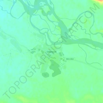
Name: Topografische Karte Oymyakon, Höhe, Relief.
Durchschnittliche Höhe: 679 m
Minimale Höhe: 670 m
Maximale Höhe: 704 m