
Topografische Karte Lexington
Interaktive Karte
Klicken Sie auf die Karte, um die Höhe anzuzeigen.
Über diese Karte
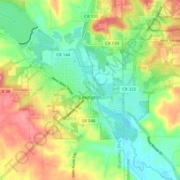
Name: Topografische Karte Lexington, Höhe, Relief.
Durchschnittliche Höhe: 386 m
Minimale Höhe: 346 m
Maximale Höhe: 443 m
Andere topografische Karten
Klicken Sie auf eine Karte, um ihre Topografie, ihre Höhe und ihr Relief anzuzeigen.
Mansfield
United States > Ohio > Richland County
Mansfield, Richland County, Ohio, United States
Durchschnittliche Höhe: 387 m
South Boulevards
United States > Ohio > Richland County > Mansfield
South Boulevards, Mansfield, Richland County, Ohio, 44907, United States
Durchschnittliche Höhe: 421 m
Shelby
United States > Ohio > Richland County > Shelby
Shelby, Sharon Township, Richland County, Ohio, 44875, United States
Durchschnittliche Höhe: 336 m
Ontario
United States > Ohio > Richland County
Ontario, Springfield Township, Richland County, Ohio, United States
Durchschnittliche Höhe: 408 m