
Topografische Karte Scott City
Interaktive Karte
Klicken Sie auf die Karte, um die Höhe anzuzeigen.
Über diese Karte
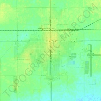
Name: Topografische Karte Scott City, Höhe, Relief.
Ort: Scott City, Scott County, Kansas, 67871, United States (38.46398 -100.92538 38.49309 -100.87013)
Durchschnittliche Höhe: 903 m
Minimale Höhe: 894 m
Maximale Höhe: 910 m
According to the United States Census Bureau, the city has a total area of 2.63 square miles (6.81 km2), all land. It is located in the Great Plains and at the elevation of 2979 ft.