
Topografische Karte Komatke
Interaktive Karte
Klicken Sie auf die Karte, um die Höhe anzuzeigen.
Über diese Karte
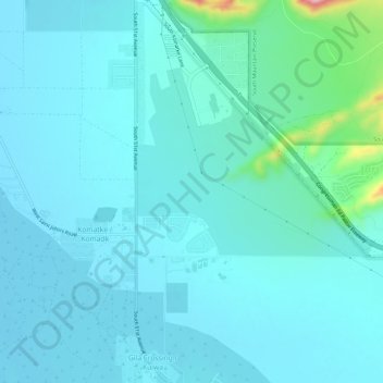
Name: Topografische Karte Komatke, Höhe, Relief.
Durchschnittliche Höhe: 335 m
Minimale Höhe: 309 m
Maximale Höhe: 528 m
Saint John the Baptist Parish Laveen, the Saint Johns Mission, is in Komatke. The name is taken from the mission school founded by the Franciscans in 1894. It has an estimated elevation of 1,030 feet (310 m) above sea level.