
Topografische Karte The Municipal District of Ashbourne
Interaktive Karte
Klicken Sie auf die Karte, um die Höhe anzuzeigen.
Über diese Karte
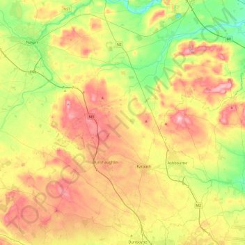
Name: Topografische Karte The Municipal District of Ashbourne, Höhe, Relief.
Durchschnittliche Höhe: 75 m
Minimale Höhe: 2 m
Maximale Höhe: 160 m