
Topografische Karte Allegheny Portage Railroad National Historic Site
Interaktive Karte
Klicken Sie auf die Karte, um die Höhe anzuzeigen.
Allegheny Portage Railroad National Historic Site
A skew arch bridge, a masterwork of cut stone construction, is another feature of the site near the Lemon House. The bridge is 60.4 feet (18.4 m) long on the south elevation, 54.9 feet (16.7 m) long on the north elevation, and 22.2 feet (6.8 m) high. It was the only bridge on the line that was built to carry a road.
Über diese Karte
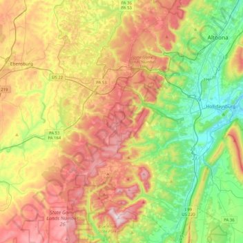
Name: Topografische Karte Allegheny Portage Railroad National Historic Site, Höhe, Relief.
Durchschnittliche Höhe: 570 m
Minimale Höhe: 280 m
Maximale Höhe: 957 m