
Topografische Karte Woodberry
Interaktive Karte
Klicken Sie auf die Karte, um die Höhe anzuzeigen.
Woodberry
Woodberry also houses the facilities for four of Baltimore's commercial television stations, and because of its altitude, it also is the site of two large broadcasting masts. This area, once known as Malden Hill, is also known as Television Hill (or simply TV Hill). The first television station and transmission tower were completed in 1948.
Über diese Karte
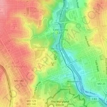
Name: Topografische Karte Woodberry, Höhe, Relief.
Ort: Woodberry, Park Heights, Baltimore, Maryland, United States (39.32956 -76.65820 39.34524 -76.64207)
Durchschnittliche Höhe: 94 m
Minimale Höhe: 40 m
Maximale Höhe: 141 m