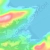
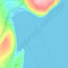
Topografische Karte Natuashish
Klicken Sie auf die Karte, um die Höhe anzuzeigen.
Über diese Karte

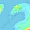
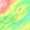
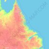
Name: Topografische Karte Natuashish, Höhe, Relief.
Ort: Natuashish, Labrador, Newfoundland and Labrador, Canada (55.87915 -61.15171 55.95915 -61.07171)
Durchschnittliche Höhe: 24 m
Minimale Höhe: -3 m
Maximale Höhe: 208 m
Andere topografische Karten
Klicken Sie auf eine Karte, um ihre Topografie, ihre Höhe und ihr Relief anzuzeigen.









Signal Hill National Historic Site
Canada > Newfoundland and Labrador > St. John's
Durchschnittliche Höhe: 29 m








Clarenville
Canada > Newfoundland and Labrador
The Clarenville area has many of the physical features characteristic of the East Coast of Newfoundland and has a marine climate. It lies along the coastal slopes which rise from the Atlantic Ocean towards the interior central plateau of the island. The dominating physical feature is a ridge of broken peaks…
Durchschnittliche Höhe: 102 m