
Topografische Karte Chachani Volcano
Interaktive Karte
Klicken Sie auf die Karte, um die Höhe anzuzeigen.
Chachani Volcano
The volcano lies in the Andes of southern Peru, 22 kilometres (14 mi) northwest of Arequipa and north of the Arequipa Airport; the city of Arequipa is situated on the foot of Chachani and El Misti volcanoes. The road from Arequipa to Chivay runs along the southeastern foot of Chachani, and a dirt road reaches to an elevation of 5,000 metres (16,000 ft). It is considered to be one of the most easily climbed mountains between 6,000 - 7,000 m high, although acclimatization and good physical health are required to ascend it.
Über diese Karte
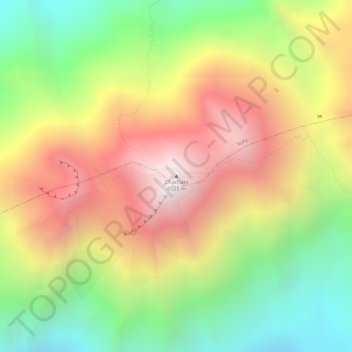
Name: Topografische Karte Chachani Volcano, Höhe, Relief.
Durchschnittliche Höhe: 5.562 m
Minimale Höhe: 5.032 m
Maximale Höhe: 6.071 m