
Topografische Karte Cordeaux Dam
Interaktive Karte
Klicken Sie auf die Karte, um die Höhe anzuzeigen.
Cordeaux Dam
The dam is set within the valley of the Cordeaux River. Upstream of the dam wall this setting is characterised by the broad expanse of the pool of water bordered by the crests of the valley sides. Downstream of the dam wall the setting is characterised by the steeper inclines that graduate into the gorgre created by the river's flow over time. Collectively this topography at times of high water imparts a picturesque scene when viewed from selective vantage points above and on the dam wall.
Über diese Karte
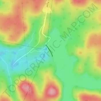
Name: Topografische Karte Cordeaux Dam, Höhe, Relief.
Durchschnittliche Höhe: 325 m
Minimale Höhe: 265 m
Maximale Höhe: 395 m