
Topografische Karte Камчатка
Interaktive Karte
Klicken Sie auf die Karte, um die Höhe anzuzeigen.
Über diese Karte
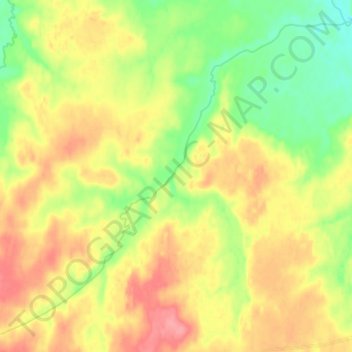
Name: Topografische Karte Камчатка, Höhe, Relief.
Durchschnittliche Höhe: 180 m
Minimale Höhe: 146 m
Maximale Höhe: 215 m
Like most of its namesake peninsula, the basin of the Kamchatka River has at low altitudes a subarctic climate (Köppen Dfc) with short, cool to comfortable summers and freezing, snowy winters.