
Topografische Karte Kaźmierz
Interaktive Karte
Klicken Sie auf die Karte, um die Höhe anzuzeigen.
Über diese Karte
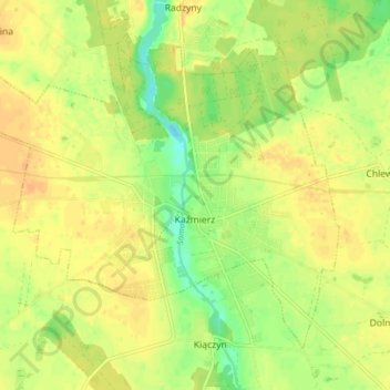
Name: Topografische Karte Kaźmierz, Höhe, Relief.
Durchschnittliche Höhe: 88 m
Minimale Höhe: 70 m
Maximale Höhe: 98 m
Andere topografische Karten
Klicken Sie auf eine Karte, um ihre Topografie, ihre Höhe und ihr Relief anzuzeigen.
Mokrz
Poland > Greater Poland Voivodeship > Szamotuły County > Mokrz
Mokrz, gmina Wronki, Szamotuły County, Greater Poland Voivodeship, 64-510, Poland
Durchschnittliche Höhe: 65 m
Konin
Poland > Greater Poland Voivodeship > Szamotuły County
Konin, gmina Pniewy, Szamotuły County, Greater Poland Voivodeship, 62-045, Poland
Durchschnittliche Höhe: 100 m