
Topografische Karte Boron
Interaktive Karte
Klicken Sie auf die Karte, um die Höhe anzuzeigen.
Über diese Karte
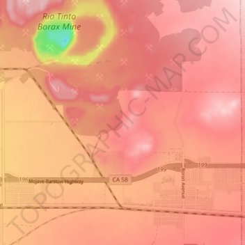
Name: Topografische Karte Boron, Höhe, Relief.
Ort: Boron, Kern County, California, United States (34.99091 -117.70336 35.05041 -117.63242)
Durchschnittliche Höhe: 753 m
Minimale Höhe: 583 m
Maximale Höhe: 812 m
Boron (formerly Amargo, Baker, Borate, and Kern)[4] is a census-designated place (CDP) in Kern County, California, United States. Boron is 15 miles (24 km) southwest of Red Rock Mountain at an elevation of 2,467 feet (752 m).[4] The population was 2,086 at the 2020 census, up from 2,025 at the 2000 census. Boron is named after the element boron and is the site of the world's largest source of the boron compound boric acid.
Andere topografische Karten
Klicken Sie auf eine Karte, um ihre Topografie, ihre Höhe und ihr Relief anzuzeigen.
Baker
United States > California > Kern County > Boron
Baker, Boron, Kern County, California, United States
Durchschnittliche Höhe: 765 m